69wards by bike or foot

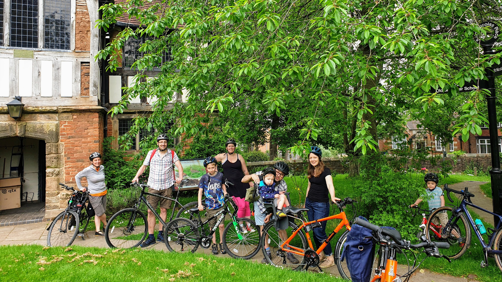
We are committed to improving our city’s access to active travel – it helps keep our residents and our environment healthy. To support this, we have created a collection of 13 online maps showing bike and walking friendly routes linking all 69 wards of Birmingham to encourage people to get outside and choose sustainable transport more often.
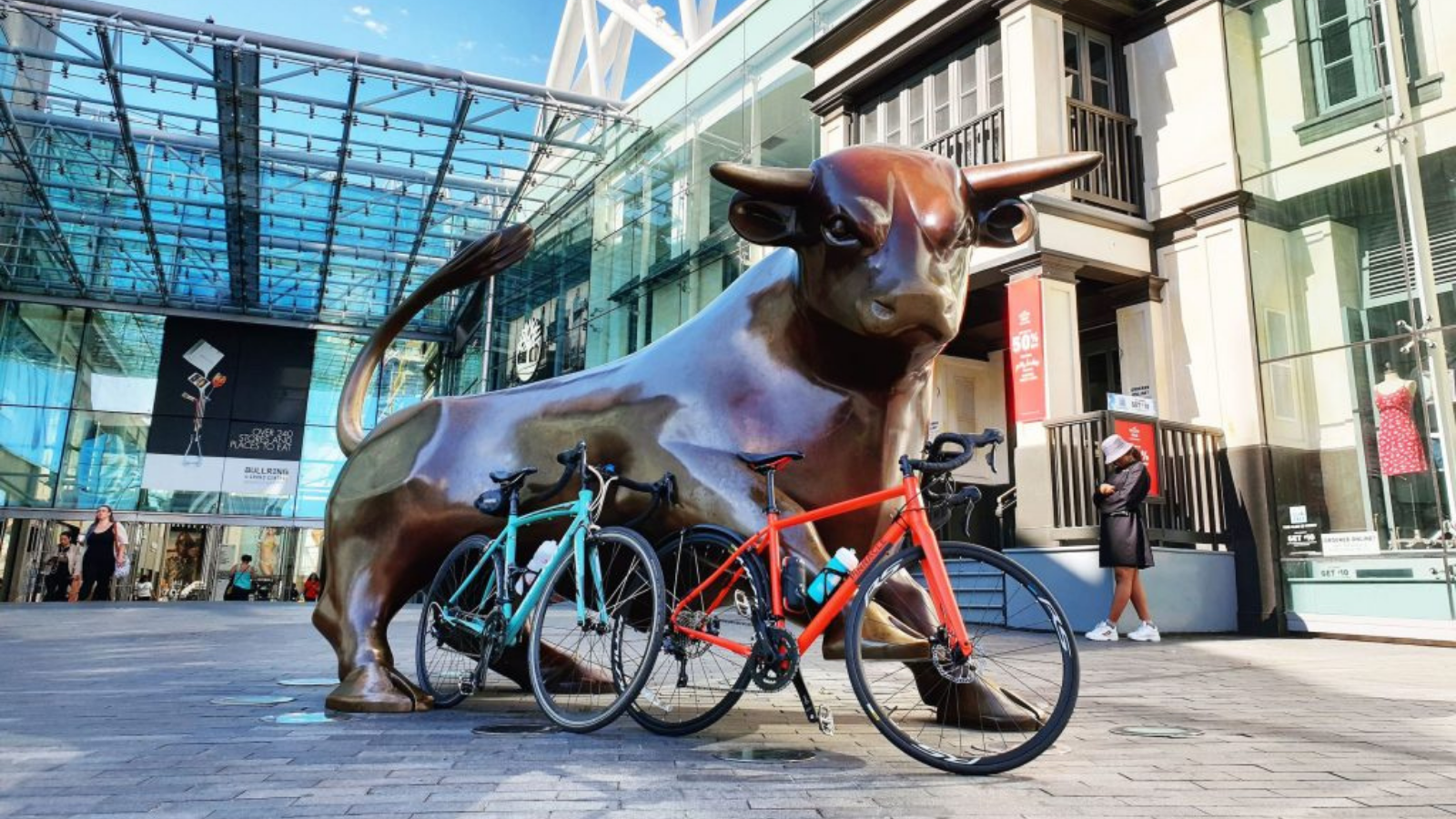
The routes highlight existing cycle infrastructure, beautiful green spaces, quiet streets, as well as key places of interest (such as the best cafes and toilet stops) and other fab hidden gems across the city. Having these maps will enable you to explore your local area and further afield by bike and foot with confidence.
Use the routes today to find bike friendly routes for your local journeys, leisure, as well as fun days outs by bike, foot and public transport.
Click the orange buttons below to find out more about each route including all the highlights and links to Google Maps. They are also available to view and follow on the route finding app Komoot. Have fun exploring!
Routes designed/created by Lisa Jones and illustrated by @pip_illustrates


Accessing the routes
There are two ways you can access the routes and view them more closely. This is through Google Maps and our recommended option Komoot. This is a FREE route finding app/website which allows you to view the routes in more detail and shows things like places of interested, green spaces and cafe stops via the highlights feature. It also offers turn by turn navigation. You just need to make sure you choose Birmingham as your first (free) region to fully access this content and the features.
If you have a bike computer or use other route planning websites/tools you can download the GPX files here.
Ride safely ⚠️
Please be mindful that these are advisory routes — you are responsible for your own safety. If you plan to cycle these routes, there are few things to remember:
- Always follow the Highway Code.
- When on towpaths and share with care paths give priority and be courteous to pedestrians.
- Please be extra careful when riding near open water.
- Ride within your own ability.
- If stopping to rest or look at the map, please stop in a suitable and safe place.
- Most of all, have fun!


69wards is a collection of digital maps created by ecobirmingham, highlighting walking and bike friendly routes across Birmingham to enable active travel.
The development of this route and activities in Birmingham has been supported by Roughley Trust, Edward Cadbury Trust, Swire Charitable Trust, Centre for Sustainable Energy (CSE Project 3d) and ICLEI.